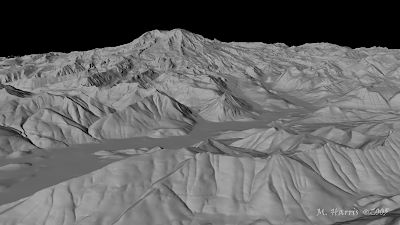
This is a DEM of Mt. Rainier that I found at
www.highend3d.com/maya/tutorials/general/253.html. This mountain, in Washington State, keep snow at it's peak almost year round. Using this kind of map, all I can see is elevation but there are some areas toward the bottom where I can make out what is either a river or a road.

No comments:
Post a Comment